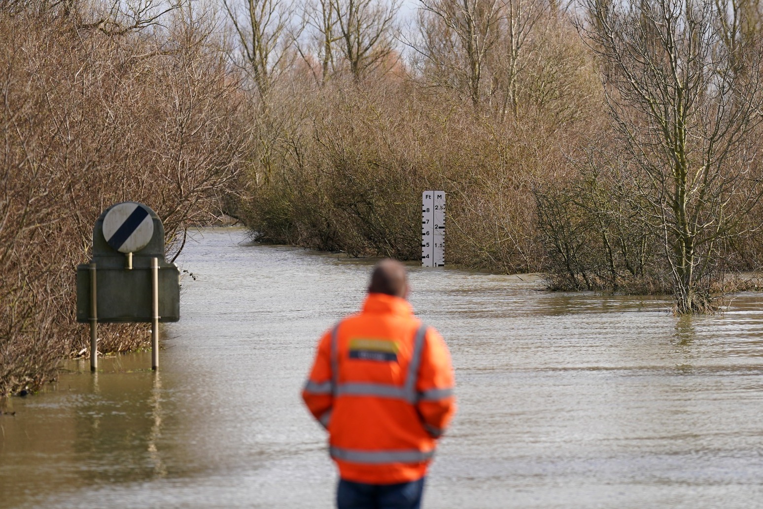
Some areas may be having their wettest-ever February, although it is unlikely a new national rainfall record for the month will be set, the Met Office said.
The UK has seen nearly a third more rain than would be expected for February but, while the Met Office is yet to finalise the average rainfall figures for February, it would need to surpass 213.7mm to be wetter than 2020.
“Some locations may approach or exceed record-breaking levels but for the UK as a whole it is unlikely to see the rainfall we saw in 2020,” said Ellie Glaisyer, a Met Office meteorologist.
“In the UK we have seen 131% of the February rainfall we would usually expect.”
She said there had been 78% more rain than expected in England, 53% more in Wales but slightly less (6%) than average in Scotland and nearly a fifth less (18% lower than average) in Northern Ireland.
Ms Glaisyer said the heaviest rainfall this month had occurred across central and southern England.
Fog and frost is expected to set in across the UK overnight as temperatures continue to languish in the low single digits.
Ms Glaisyer said: “Tonight there will be widespread frost across the UK with lows of minus 3C in some places.
“There will be mist and fog through the early hours of the morning which will gradually break up over the course of the morning.
“The main risk area is central and southern England,” she said, adding: “There could be some travel disruption but it should clear relatively quickly.”
Spells of rain are expected across Scotland, Wales, northern England and the South West on Tuesday.
The Environment Agency (EA) has issued 57 flood warnings – when flooding is expected – and 157 flood alerts in England, while National Resources Wales has put out two flood alerts
The agency has also issued 45 red cautions for strong streams, which advises users of all boats not to navigate.
A landslip between London Paddington and Reading blocked all lines on Monday, with cancellations and severe delays to trains running between the stations.
The Elizabeth line between Abbey Wood/London Paddington and Reading has been affected, as has the service between Shenfield/London Paddington and Heathrow Terminals.
The Heathrow Express and many Great Western Railway routes from London Paddington face disruption.
A number of incidents between East Croydon and Brighton have affected the Gatwick Express, Southern and Thameslink network.
The Met Office’s shipping forecast has issued 20 gale warnings for sea areas including Viking, Dover, Thames, Biscay, Wight, Trafalgar and Plymouth.
In Cornwall, all sailings of the St Mawes Ferry, linking St Mawes with Falmouth, were cancelled because of “strong winds and adverse sea conditions”.
Published: by Radio NewsHub


